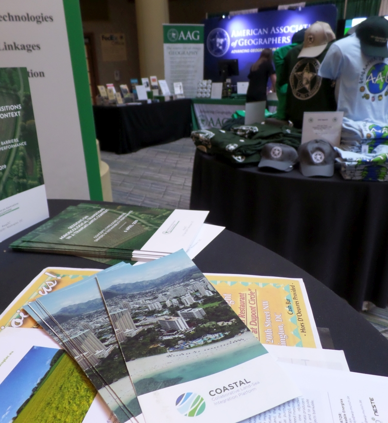
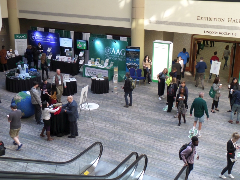
The conference featured over 6,000 presentations, posters, workshops, and field trips and hosted nearly 8,500 geographers, GIS specialists, environmental scientists, and other registrants from around the world (78 different countries) sharing the very latest in research, policy, and applications in geography, sustainability, and GIScience (see online gallery of photos).

The most relevant sessions to COASTAL were the series of Urbanization, Coastal Vulnerability, and Sustainability, for the abstracts visit the following links:
- Benefits of remote sensing for coastal studies;
- Coastal water and wetland resources;
- EO-based urban variables and indicators to support sustainable cities;
- Urban infrastructures (impervious surfaces, roads, buildings) and urban hazards;
- Coastal hazards, vulnerability, and resilience to extreme weather events;
- Ecosystem structures and functions of cities and their hinterlands in the coastal regions;
- Earth at Night - What can and can't be Seen?

